Resources


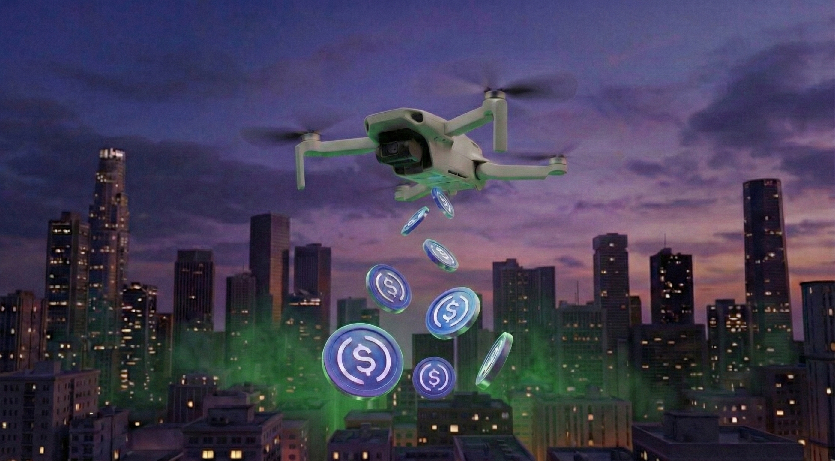
USDC rewards are now live on the LayerDrone Network.

From March 14th to March 16th, new missions and mission reservations will be paused to prepare for USDC rewards.
.jpg)
When LayerDrone launches on mainnet on March 17th, pilots will be paid with USDC. Here's everything they need to know to prepare.
LayerDrone 2026 roadmap update includes token launch, points updates, and a major upcoming milestone: USDC rewards.
In 2025, LayerDrone achieved 40,000 community members and awarded 1.4M XP for their contributions.

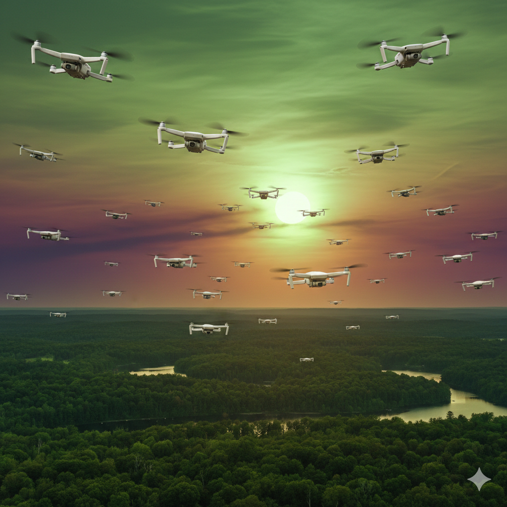
In 2025, pilot contributors 10x'd while network coverage expanded by 307% YoY.
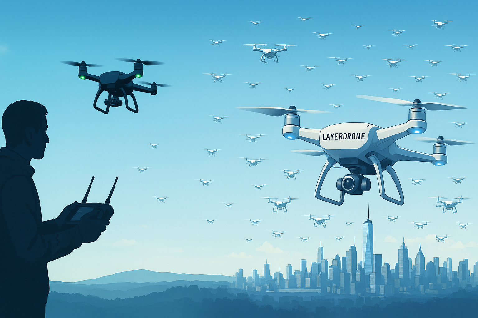
The FCC restricts new foreign-made drones from entering the US, but your existing DJI equipment will continue working normally. Here's LayerDrone's plan for US pilots.

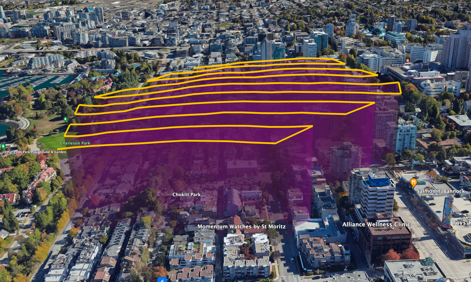
In 2025, the LayerDrone network exceeded it's strategic goals with 5.5M+ acres imaged, 180k+ missions flown, and over 8k pilots.

The Open Capture campaign is the largest expansion in LayerDrone network history
How LayerDrone became Earth's first autonomous aerial data network.
A Spexigon is the standard that built LayerDrone's infrastructure.

As Web3 positions itself as the internet’s next major evolution, the overlooked “Mapping 3.0” is already here — and it’s making the world richer in ways you never realized.
.png)
How to build both a successful business and the world's largest drone imagery network.

LayerDrone pilots squad up in the latest community campaign.
Built to scale and serve real-world people, Base empowers transparency, regulatory alignment, and open collaboration of the LayerDrone network.
.png)
How Spexi and LayerDrone form the most advanced data collection engine on Earth.

See the memes drone pilots created about flying with LayerDrone.

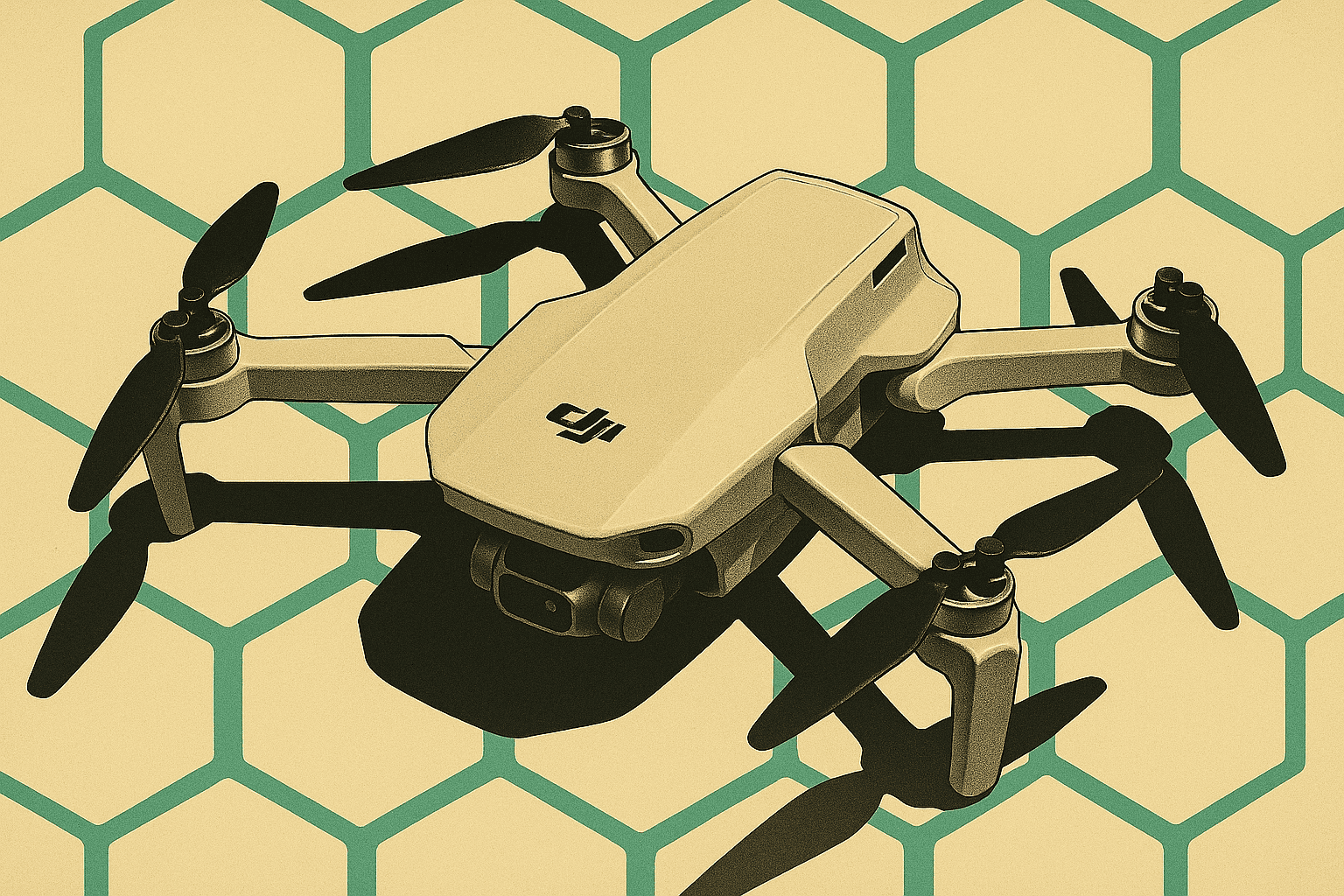
LayerDrone pilots showcase the gear they use to fly missions for the network.

LayerDrone is launching a new community initiative where pilots can showcase their drone setups, share their expertise, and compete for exclusive rewards while helping build the world's most detailed aerial imagery network.
LayerDrone launches RP-only missions for drone pilots: earn reputation points, test equipment, and practice flights while building the world's most detailed imaging network.

LayerDrone pilots share iconic shots of their favourite cities
.png)
How empowering a community of drone pilots to collectively build and govern the world's most valuable imagery resource will create the foundation for spatial AI.
.png)
Learn how LayerDrone effectively incentivizes pilots and other network contributors to ensure the network’s mission.

As AI systems increasingly need to understand and navigate the physical world, the new mission-driven foundation establishes an open network that delivers aerial imagery 900x more detailed, 200x faster, and 50x more affordable than traditional options.

Welcome to LayerDrone: the world’s most detailed imaging network and the foundation for the next generation of AI and GIS applications.